Stagecoach London Bus Service B14 (Route) from Bexleyheath, Town Centre to Orpington – Time Schedules, Stops, Route Maps, Directions, Website
![]()
Operator: Stagecoach London
Website: https://tfl.gov.uk/bus/route/b14
B14 Bus Route Directions and Bus Stop
| From: Bexleyheath Clock Tower
To: Orpington Station |
From: Orpington Bus Station
To: Friswell Place |
| M- Bexleyheath Clock Tower | F- Orpington Bus Station |
| A- Trinity Place | H- Tubbenden Lane |
| BM- Lion Road | R- High Street / Orpington War Memorial |
| BN- Upton Road | T- Walnuts Centre |
| BQ- Crook Log / Dallin Road | V- High Street / Broomhill Road |
| BP- Danson Road / Crook Log | D- Goodmead Road |
| BR- The Grove | L- Carlton Parade |
| S- Danson Road / Sandhurst Road | SV- Kent Road |
| T- Danson Underpass | SJ- Nugent Retail Park |
| Penhill Road | SD- St Mary Cray / Station Approach |
| E- Foots Cray Lane / Hurst Road | SA- St Mary Cray Station |
| F- Canterbury Avenue | A- Longbury Drive |
| E- Bexley Lane Royal Road | B- Ravenscourt Road |
| Kimberley Drive | C- Goose Green Close |
| A- Longmead Drive / Albany Park | D- Chorleywood Crescent |
| B- Longmead Drive / Onslow Drive | E- Beddington Road |
| S- Bexley Lane / Cleeve Park School | F- Breakspears Drive |
| S- Granville Road | G- Midfield Way / Chipperfield Road |
| U- Sidcup High Street / Station Road | Croxley Green |
| S- Carlton Road | D- Sevenoaks Way / Midfield Way |
| W- The Green | HB- Queen Mary’s Hospital / Cancer Unit |
| HB- Queen Mary’s Hospital / Cancer Unit | HA- Queen Mary’s Hospital / Main Entrance |
| HA- Queen Mary’s Hospital / Main Entrance | HJ- Queen Mary’s Hospital |
| HH- Queen Mary’s Hospital | X- The Green |
| M- Kemnal Technology College | T- Sidcup High Street / Station Road |
| E- Midfield Way / Sevenoaks Way | Bexley Lane Farwell Road |
| J- Croxley Green | N- Bexley Lane / Cleeve Park School |
| K- Midfield Way / Chipperfield Road | E- Bexley Lane Royal Road |
| L- Breakspears Drive | Kimberley Drive |
| M- Beddington Road | A- Longmead Drive / Albany Park |
| N- Chorleywood Crescent | B- Longmead Drive / Onslow Drive |
| P- Kings Church | N- Canterbury Avenue |
| R- Ravenscourt Road | P- Foots Cray Lane / Hurst Road |
| S- Longbury Drive | Blackfen Road / Penhill Road |
| SB- St Mary Cray Station | Q- Danson Underpass |
| SG- Nugent Retail Park | R- Danson Road / Sandhurst Road |
| SH- Stanley Way | Danson Park |
| ST- Kent Road | BS- The Grove |
| P- High Street / Carlton Parade | BC- Crook Log Leisure Centre |
| W- High Street / Church Hill | BD- Crook Log / Dallin Road |
| U- Walnuts Centre | BK- Upton Road |
| S- High Street / Orpington War Memorial | BL- Lion Road |
| J- Tubbenden Lane | B- Trinity Place |
| G- Orpington Station | Friswell Place |
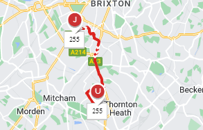
B14 Route Map

Stagecoach London Customer care Phone number, Email, Address
View Stagecoach London Customer care Phone number, Email, Address, Feedback, how to report to lost and found through the above link
List of Bus Routes / Services in London
View the List of Bus Routes / Services in London address, phone number, email and website through the above link.
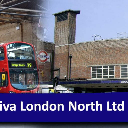
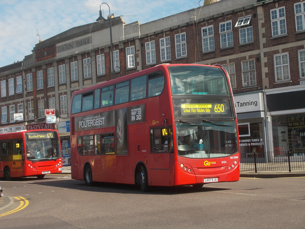
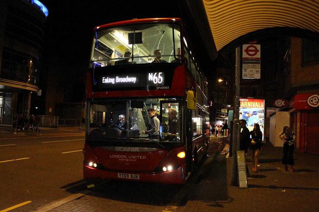
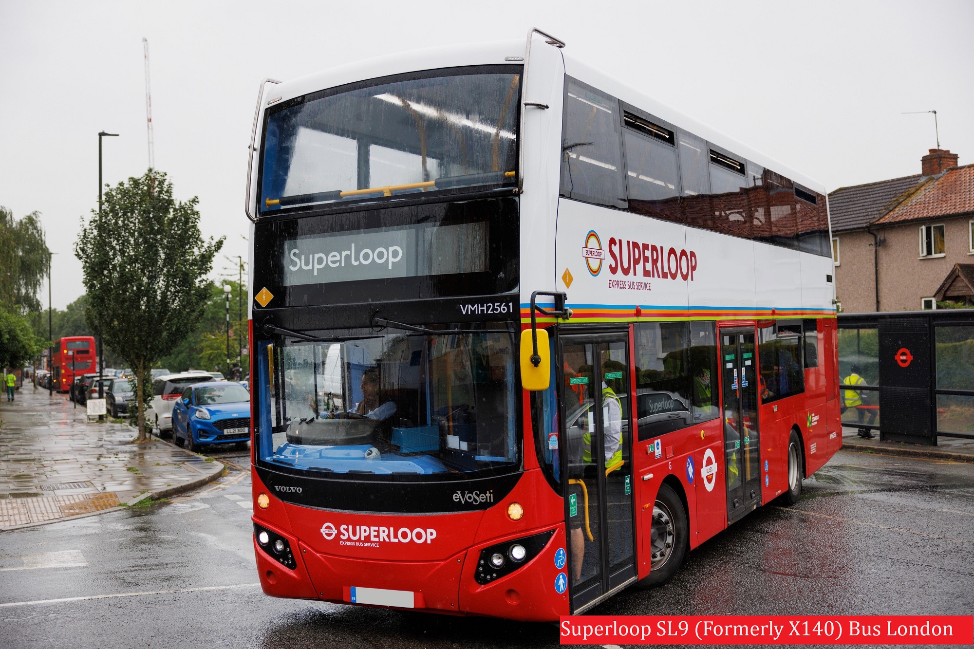
B14 Gallery

Is there any problem/complaint with reaching the London Bus Route B14? Please report any issues using the below comment form.
Rate your experience with the London Bus Route B14: (click on the stars below)Click to rate this post!
[Total: 0 Average: 0]