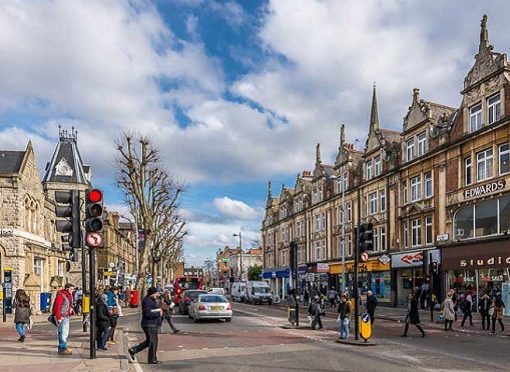
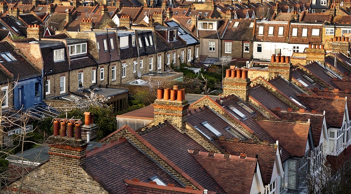
The London Borough of Barnet is a suburban London borough in North London. It forms part of Outer London and is the largest London borough by population with 384,774 inhabitants; it covers an area of 86.74 square kilometres (33 sq mi), the fourth highest, and has a population density of 45.8 people per hectare, which ranks it 25th. The borough was formed in 1965 from parts of the counties of Middlesex and Hertfordshire.
Its various subcommunities include:
- Hertfordshire
- Harrow
- Brent
- Camden
- Haringey
- Enfield
Features of Barnet
- Total Area: 33.49 sq mi (86.74 km2)
- Total Population(mid-2018 est.): 392,140
- Density: 12,000/sq mi (4,500/km2)
Barnet Rental Overview

| Apartment Type | Rental in Pound Sterling |
| 1BHK | £265pw |
| 2BHK | £367pw |
| 3BHK | £646pw |
| 5BHK | £1,200pw |
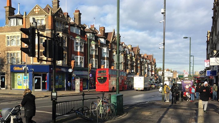
Public Transport in Barnet

Railway stations in Barnet: (1 C, 7 P)
| Brent Cross West railway station | Cricklewood railway station | Hendon railway station |
| Mill Hill Broadway railway station | New Barnet railway station | New Southgate railway station |
| Oakleigh Park railway station |
Streets in Barnet: (1 C, 11 P)

| Wood street | chipping Barnet | A406, North circular Road |
| A5 road (Great Britain) | A1 in London | The Bishops Avenue |
| Edgware Road | Finchley Road | Games Road |
| North Circular Road | Staples Corner | Station Road, New Barnet |

| Brent Cross tube station | Burnt Oak tube station | Colindale tube station |
| East Finchley tube station | Edgware tube station | Finchley Central tybe station |
| Golders Green tybe station | Hendon Central tube station | High Barnet tube station |
| Mill Hill East tube station | Totteridge & Whetstone tube station | Woodside Park tube station |
BUS ROUTES: 34 – 84 – 107 – 184 – 234 – 263 – 307 – 326 – 383 – 384 – 389 – 399 – 606 – 614 – 626 – 634 – N20

ROUTE 34,184: Arriva London
ROUTE 84,107,234,263,307,384,606,634,N20: Metroline
ROUTE 326: London Sovereign
ROUTE 383,614: Uno
ROUTE 389,399,626: Sullivan Buses
UNDERGROUND: Northern Line
Barnet Electoral wards

| Brunswick Park | Burnt Oak | Childs Hill |
| Colindale | Coppetts | East Barnet |
| East Finchley | Edgware | Finchley Church End |
| Garden Suburb | Golders Green | Hale |
| Hendon | High Barnet | Mill Hill |
| Oakleigh | Totteridge | Underhill |
| West Finchley | West Hendon | Woodhouse |
Schools near Barnet

| East Barnet School | Monken Hadley School | Cromer Road Primary School |
| Foulds School | Mount House School | Danegrove Primary School |
| Trent C of E Primary School | Queen Elizabeth’s Girls’ School | Jewish Community Secondary School |
| Livingstone Primary & Nursery School | Susi Earnshaw Theatre School | Danegrove Primary School |
| Whitings Hill Primary School | Lyonsdown School | Grasvenor Avenue Infant School |
Hospitals near Barnet

| Barnet Hospital | Hadley Wood Hospital | Chase Farm Hospital |
| East Barnet Health Centre | Barnet M R I Centre | Springwell Centre |
Beaches near Barnet

| Jubilee Beach | Shoebury Common Beach | East Beach |
| Beach Street | Bell wharf Beach | Chalkwell Beach |
Park near Barnet

| Barnet Park | Old Court House Recreation Ground | King George’s Fields |
| Highlands Gardens | Hadley Green | Whalebones Park |