Blue Triangle Bus Service 5 (Route) from Canning Town Station to Romford Market – Time Schedules, Stops, Route Maps, Directions, Website
![]()
Operator: Blue Triangle
Website: https://tfl.gov.uk/bus/route/5
Blue Triangle Bus Service 5 Bus Route Directions and Stops
| From: Romford Market
To: Canning Town Station |
From: Canning Town Bus Station
To: Romford Market |
| E – Romford Market | F – Canning Town Bus Station |
| K – Mercury Gardens | J – Rathbone Market |
| Q – Western Road | L – Hermit Road |
| T – Romford Station | S – Rokeby School |
| HD – Rom Valley Way | BH – King Street |
| HL – Queen’s Hospital | BJ – Balaam Street |
| RU – Norwood Avenue | BK – Plaistow Police Station |
| J – Rush Green Road / Dagenham Road | BM – Plaistow / Prince Regent Lane |
| K – Leonard Avenue | BN – New City Road |
| L – Clayton Road | T – Samson Street |
| M – Barton Avenue | O – Upton Park / Green Street |
| P – Cu London University / Wood Lane | Q – Upton Park / Priory Road |
| H – Becontree Heath Leisure Centre | W – Arragon Road |
| E – Morris Road | Katherine Road |
| L – Five Elms School | P – Bartle Avenue |
| M – Boxoll Road | S – High Street North |
| WR – Beverley Road | O – Newham Town Hall |
| WS – Martins Corner / Valence Avenue | X – Altmore Avenue |
| WU – Bennetts Castle Lane | W – St Olave’s Road |
| UA – Lindsey Road | V – Burges Road |
| UB – Lodge Avenue | P – North Street |
| UC – St. Thomas More Catholic Church | E – Barking Town Centre |
| UD – Capel Gardens | K – Barking Station |
| UG – Thurlestone Avenue | EB – Park Avenue |
| BK – Barking Bus Garage | BA – Hulse Avenue / Barking Park |
| BP – Faircross | BB – Faircross |
| BR – Hulse Avenue / Barking Park | BC – Barking Bus Garage |
| WB – Park Avenue | UE – Thurlestone Avenue |
| N – Barking Station | UF – Capel Gardens |
| C – Barking Town Centre | UH – St. Thomas More Catholic Church |
| F – North Street | UI – Becontree Avenue |
| Z – Barking Tesco | UJ – Lindsey Road |
| R – Burges Road | EC – Bennetts Castle Lane |
| S – St Olave’s Road | EE – Martins Corner / Valence Avenue |
| T – Altmore Avenue | EH – Charlecote Road |
| W – Newham Town Hall | N – Winmill Road |
| Q – Bartle Avenue | K – Heathway |
| Aintree Avenue | C – Morris Road |
| Dickens Road | G – Becontree Heath Leisure Centre |
| Y – Upton Park / Priory Road | R – Cu London University / Wood Lane |
| P – Upton Park / Green Street | A – Barton Avenue |
| S – New City Road | B – Clayton Road |
| BA – Plaistow / Prince Regent Lane | C – Leonard Avenue |
| BB – Plaistow Police Station | D – Dagenham Road |
| BC – Balaam Street | RW – Norwood Avenue |
| BD – Chargeable Lane | HN – Queen’s Hospital |
| BE – Croydon Road | HE – Rom Valley Way |
| P – Rokeby School | Z – Romford Station |
| M – Hermit Road | PP – Western Road |
| N – Rathbone Market | L – Romford Market |
| A – Canning Town Station |
5 Route Map

Blue Triangle Customer care Phone number, Email, Address
View Blue Triangle London Customer care Phone number, Email, Address, Feedback, how to report lost and found through the above link
List of Bus Routes / Services in London
View the List of Bus Routes / Services in London address, phone number, email and website through the above link.
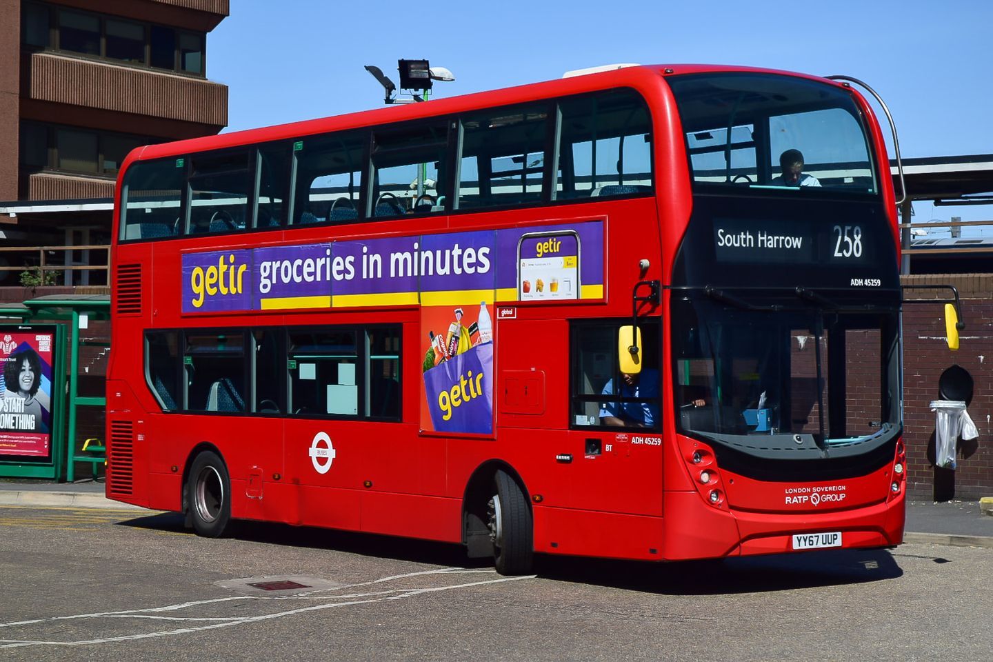
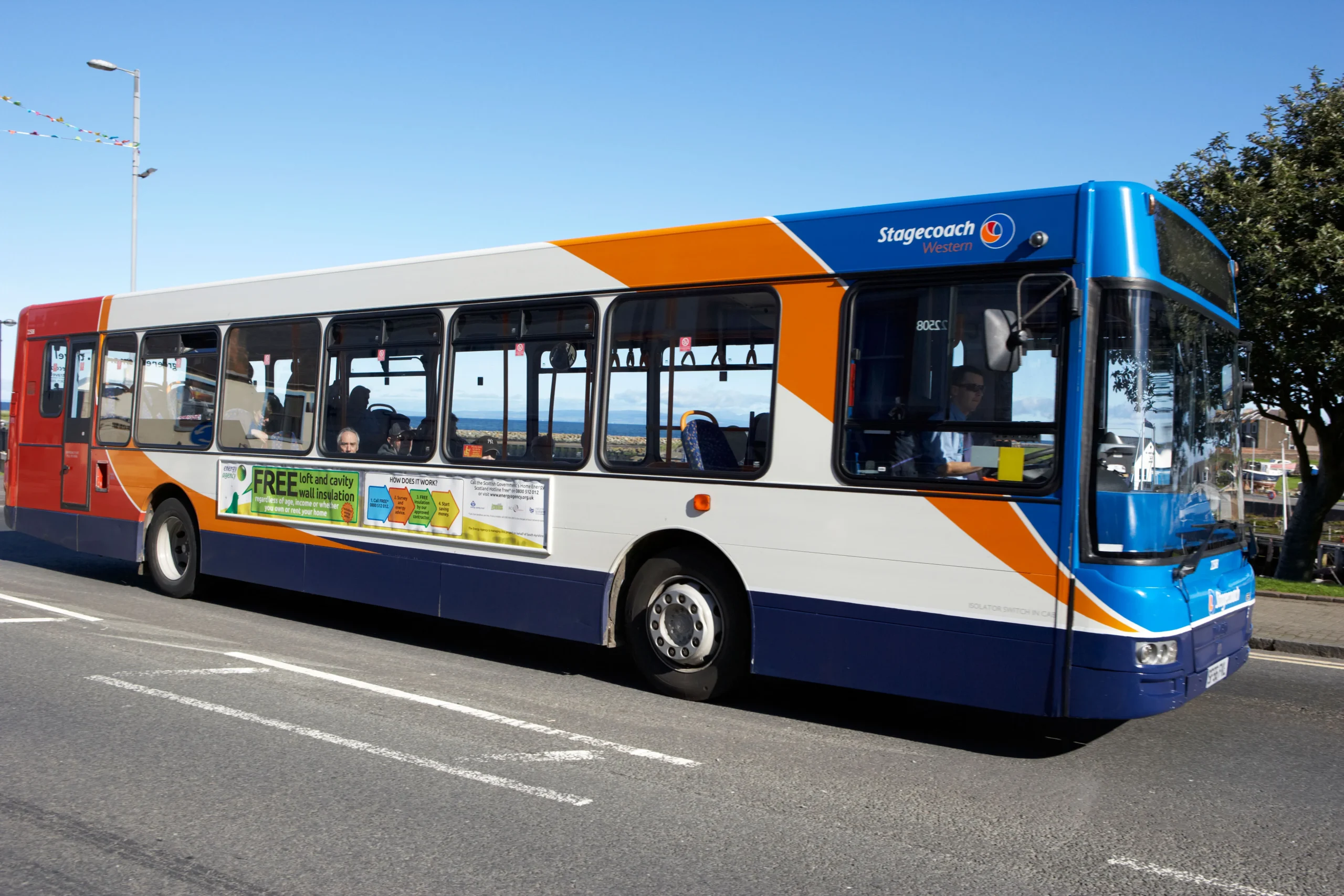
Bus – 5 Gallery

Is there any problem/complaint with reaching the London Bus Route 5? Please report any issues using the below comment form.
Rate your experience with the London Bus Route 5: (click on the stars below)Click to rate this post!
[Total: 0 Average: 0]
