London Central Bus Service 669 (Route) from Erith to Albany Park – Time Schedules, Stops, Route Maps, Directions, Website
![]()
Operator: London Central
Website: https://tfl.gov.uk/bus/route/669
669 Bus Route Directions and Stops
| From: Thamesmead Town Centre
To: Bexley Lane / Cleeve Park School |
From: Cleeve Park School
To: Thamesmead Town Centre |
| A- Thamesmead Town Centre | Cleeve Park School |
| D- Linton Mead Primary School | N- Canterbury Avenue |
| Hoveton Road | P- Foots Cray Lane / Hurst Road |
| NE- Nickelby Close | S- Eynsford Crescent |
| NG- Eastgate Close | T- Crofton Avenue |
| NH- Lister Walk | U- Carisbrooke Avenue |
| SE- Poplar Place | Hurst Springs |
| SJ- Carlyle Road / Crossway | Grange Wood |
| S- Southmere Lake | E- Parkwood Road |
| B- Harrow Manorway / Yarnton Way | D- Bexley Station |
| BA- Overton Road | F- Bexley Library |
| D- Harrow Manorway / Abbey Wood Station | H- Hartford Road |
| E- Abbey Wood Road | F- Gravel Hill Close |
| E- Lesnes Abbey | G- Broomfield Road |
| Elstree Gardens | H- Halcot Avenue |
| E- Tunstock Way | NS- Bexleyheath Bus Garage |
| Kingswood Avenue | NT- Lyndhurst Road |
| A- St Augustine’s Road | B- Barnehurst Station |
| B- Gilbert Road | E- Rydal Drive |
| C- Lower Road / Belvedere Station | F- Brook Street |
| D- Halt Robin Lane | H- Mill Road |
| E- Poplar Mount | P- Northumberland Park |
| E- Mayfield Road | Q- Carlton Road |
| E- Lower Road / Church Manorway | R- Lesney Park |
| S- St Francis Road | C- Fraser Road |
| E- Winifred Road / the Ship | E- Walnut Tree Road |
| L- Erith Station / West Street | F- Erith High Street |
| G- Erith Town Centre / Cross Street | W- Maxim Road / the Ship |
| D- Fraser Road | W- St Francis Road |
| S- Lesney Park | W- Lower Road / Church Manorway |
| T- Carlton Road | W- Mayfield Road |
| V- Northumberland Park | W- Poplar Mount |
| L- Brook Street | G- Halt Robin Lane |
| M- Rydal Drive | H- Lower Road / Belvedere Station |
| A- Barnehurst Station | J- Gilbert Road |
| NU- Lyndhurst Road | K- St Augustine’s Road |
| NV- Long Lane | Y- Kingswood Avenue |
| NW- Bexleyheath Bus Garage | W- Tunstock Way |
| C- Halcot Avenue | W- Lesnes Abbey |
| D- Broomfield Road | Fossington Road |
| E- Gravel Hill Close | L- Florence Road |
| J- Hartford Road | G- Abbey Wood Road |
| G- Bexley Library | C- Abbey Wood Station |
| E- Bexley Station | A- Harrow Manorway / Lensbury Way |
| C- Bexley War Memorial | N- Southmere Lake |
| W- Woodstock Close | SK- Carlyle Road / Bentham Road |
| W- Valentine Avenue | SD- Poplar Place |
| C- Carisbrooke Avenue | NA- Curlew Close |
| D- Crofton Avenue | NB- Lister Walk |
| E- Foots Cray Lane / Hurst Road | NC- Manordene Road |
| F- Canterbury Avenue | ND- Nickelby Close |
| S- Bexley Lane / Cleeve Park School | Hoveton Road |
| E- Linton Mead Primary School | |
| C- Thamesmead Town Centre |
669 Route Map

London Central Customer care Phone number, Email, Address
View London Central London Customer care Phone number, Email, Address, Feedback, how to report to SBS Transit lost and found through the above link
List of Bus Routes / Services in London
View the List of Bus Routes / Services in London address, phone number, email and website through the above link.
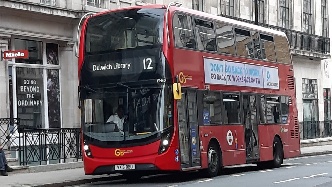
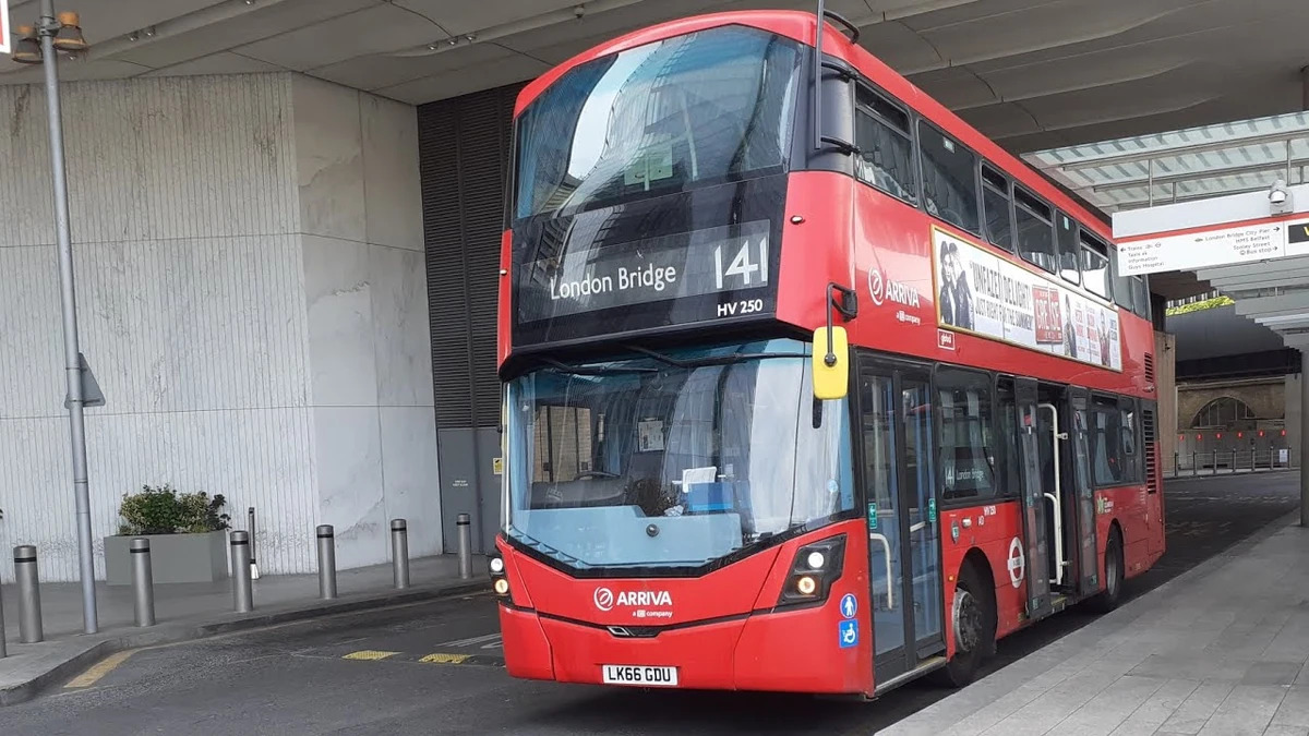
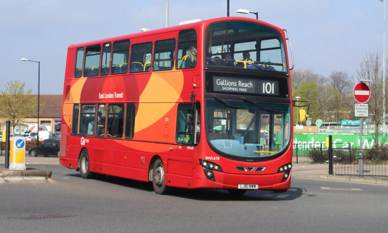
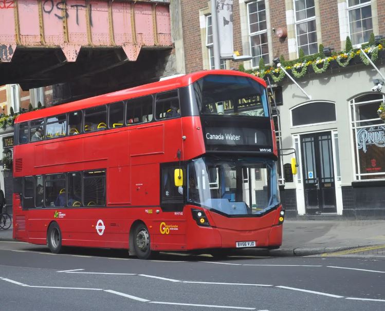
Bus Route – 669 Gallery

Is there any problem/complaint with reaching the London Bus Route 669? Please report any issues using the below comment form.
Rate your experience with the London Bus Route 669: (click on the stars below)Click to rate this post!
[Total: 0 Average: 0]