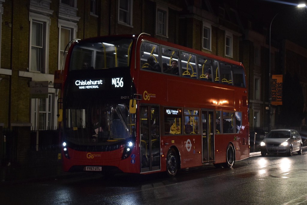
London Central Bus Service N136 (Route) from Chislehurst to Oxford Circus – Time Schedules, Stops, Route Maps, Directions, Website
![]()
Operator: London Central
Website: https://tfl.gov.uk/bus/route/n136
London Central Bus Service N136 Bus Route Directions and Stops
| From: Oxford Circus Stn / Margaret Street
To: Chislehurst War Memorial |
From: Chislehurst War Memorial
To: Conduit Street / Hamleys Toy Store |
| RF- Oxford Circus Stn / Margaret Street | T- Chislehurst War Memorial |
| RG- Oxford Circus | N- Centre Common Road / War Memorial |
| T- Conduit Street / Hamleys Toy Store | L- Chislehurst / Ashfield Lane |
| F- Piccadilly Circus | A- Chislehurst Sainsbury’s |
| P- Haymarket / Charles Ii Street | B- Ingleby Way |
| A- Trafalgar Sq / Charing Cross Stn | P- Oakdene Avenue |
| N- Whitehall / Trafalgar Square | Q- Elmstead Lane |
| S- Horse Guards Parade | R- Dunkery Road / Mottingham Road |
| Westminster Stn / Parliament Square | S- Dunkery Road / Ravensworth Road |
| V- Great Smith Street / Westminster Abbey | T- Beaconsfield Road |
| SD- St James’s Park Station | G- Court Farm Road |
| SB-Westminster City Hall | H- Duddington Close |
| M- Westminster Cathedral / Victoria Stn | J- Henry Cooper Way |
| E- Victoria Station | K- Marvels Lane Primary School |
| L- Neathouse Place | L- Marvels Lane / Chinbrook Road |
| U- Rochester Row | E- Amblecote Road |
| V- Stanford Street | F- Chinbrook Road / Baring Road |
| D- Pimlico Station | D- Grove Park Station |
| C- Vauxhall Bus Station | E- The Green |
| T- St Anne’s Church | F- Northover |
| S- Durham Street / Harleyford Road | DU- Downham Way / Southover |
| A- Archbishop Tenison’s School | DV- Headcorn Road |
| C- Oval Station | DW- Downham Way / Valeswood Road |
| E- Kennington Park | DX- St Barnabas Hall |
| D- John Ruskin Street | DY- Glenbow Road |
| E- Vassall Road | DZ- Rangefield Road |
| F- County Grove | DK- Bromley Road / Downham Way |
| G- Sacred Heart School | SU- Old Bromley Road |
| H- Warner Road | SV- Green Man Community Hub |
| K- Camberwell Church St / Camberwell Grn | SW- Southend Lane |
| E- St Giles Church | BA- Catford Police Station |
| N- Vestry Road | BB- Bellingham Road |
| P- Peckham Road / Southampton Way | BC- Newquay Road |
| Q- Harris Academy | BD- Inchmery Road |
| B- Peckham Library | Bargery Road |
| G- Peckham Post Office | W- Bromley Road / Lewisham Town Hall |
| QD- Carlton Grove | A- The Catford Centre |
| QH- Queen’s Road Peckham Station | B- Rosenthal Road |
| QJ- Pomeroy Street | HF- Mount Pleasant Road |
| B- New Cross Fire Station | HH- Lewisham Hospital |
| H- New Cross Bus Garage | HJ- Lewisham Park |
| M- New Cross Gate Station | HL- Lewisham Fire Station |
| T- Marquis of Granby | U- Lewisham Centre |
| B- Amersham Road | R- Lewisham Clock Tower |
| B- Malpas Road | J- Lewisham Station |
| C- Lucas Street | F- Lewisham Station / Loampit Vale |
| SK- Lewisham College / Ashmead School | SG- Loampit Vale / Jerrard Street |
| SL- Tyrwhitt Road / St Johns Station | SH- Undercliff Road |
| SN- Undercliff Road | SJ- Lewisham College |
| SP- Loampit Vale / Jerrard Street | D- Lucas Street |
| B- Lewisham Station | E- Malpas Road |
| W- Lewisham Centre | F- Amersham Road |
| Z- Morley Road | Y- Marquis of Granby / Goldsmiths |
| HN- Lewisham Fire Station | O- New Cross Gate Station |
| HP- Lewisham Park | K- New Cross Bus Garage |
| HR- Lewisham Hospital | A- New Cross Fire Station |
| HS- Mount Pleasant Road | QA- Pomeroy Street |
| G- Rosenthal Road | QB- Queen’s Road Peckham Station |
| D- The Catford Centre | QC- Carlton Grove |
| Y- Bromley Road / Lewisham Town Hall | J- Clayton Road |
| Inchmery Road | R- Hanover Park |
| BM- Newquay Road | S- Harris Academy |
| BN- Catford Bus Garage | T- Peckham Road / Southampton Way |
| BQ- Bellingham Road | V- Vestry Road |
| BS- Catford Police Station | U- St Giles Church |
| ST- Southend Lane | L- Camberwell Church St / Camberwell Grn |
| SX- Green Man Community Hub | J- Warner Road |
| DL- Old Bromley Road | M- Sacred Heart School |
| DM- Rangefield Road | N- Wyndham Road |
| DN- Glenbow Road | P- Vassall Road |
| DP- St Barnabas Hall | Q- St John’s School |
| DQ- Valeswood Road | R- John Ruskin Street |
| DR- Headcorn Road | F- Kennington Park |
| S- Downham Way / Southover | D- Oval Station |
| T-Downham Way / Northover | B- Archbishop Tenison’s School |
| U- The Green | W- Harleyford Road / Durham Street |
| C- Grove Park Station | A- Vauxhall Bus Station |
| G- Chinbrook Road / Baring Road | X- Vauxhall Bridge / Millbank |
| H- Amblecote Road | A- Pimlico Station |
| A- Marvels Lane / Chinbrook Road | W- Rochester Row |
| C- Lambscroft Avenue | K- Neathouse Place |
| D- Henry Cooper Way | H- Victoria Station |
| E- Duddington Close | N- Westminster Cathedral |
| F- Court Farm Road | SA- Westminster City Hall |
| A- Beaconsfield Road | SC- St James’s Park Station |
| B- Dunkery Road / Ravensworth Road | R- Westminster Abbey |
| C- Dunkery Road / Mottingham Road | A- Westminster Stn / Parliament Square |
| D- Elmstead Lane | N- Horse Guards Parade |
| E- Oakdene Avenue | T- Trafalgar Square |
| C- Ingleby Way | Z- Regent Street / St James’s |
| D- Albany Road | E- Piccadilly Circus |
| K- Chislehurst / Ashfield Lane | M- Conduit Street / Hamleys Toy Store |
| P- Centre Common Road / War Memorial | |
| T- Chislehurst War Memorial | |
N136 Route Map

London Central Customer care Phone number, Email, Address
View London Central Customer care Phone number, Email, Address, Feedback, how to report to lost and found through the above link
List of Bus Routes / Services in London
View the List of Bus Routes / Services in London address, phone number, email and website through the above link.
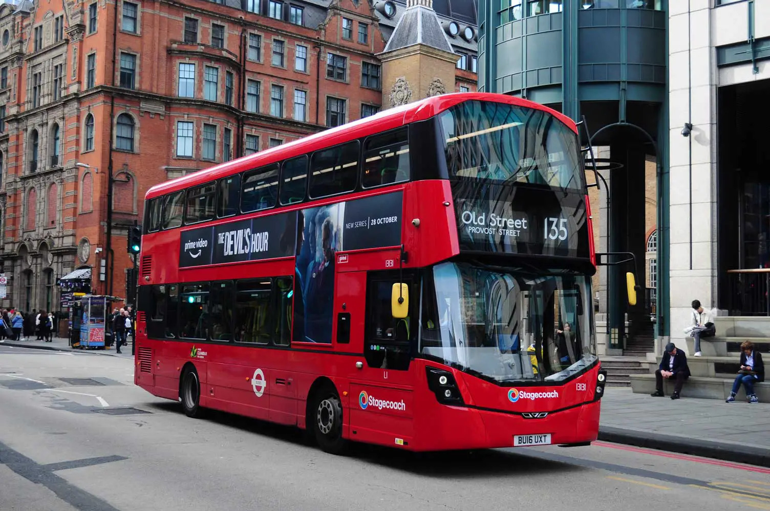
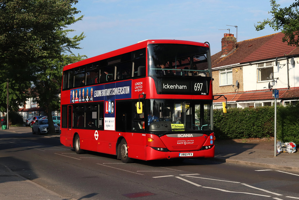
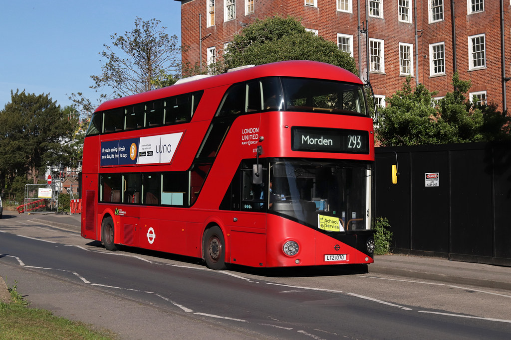
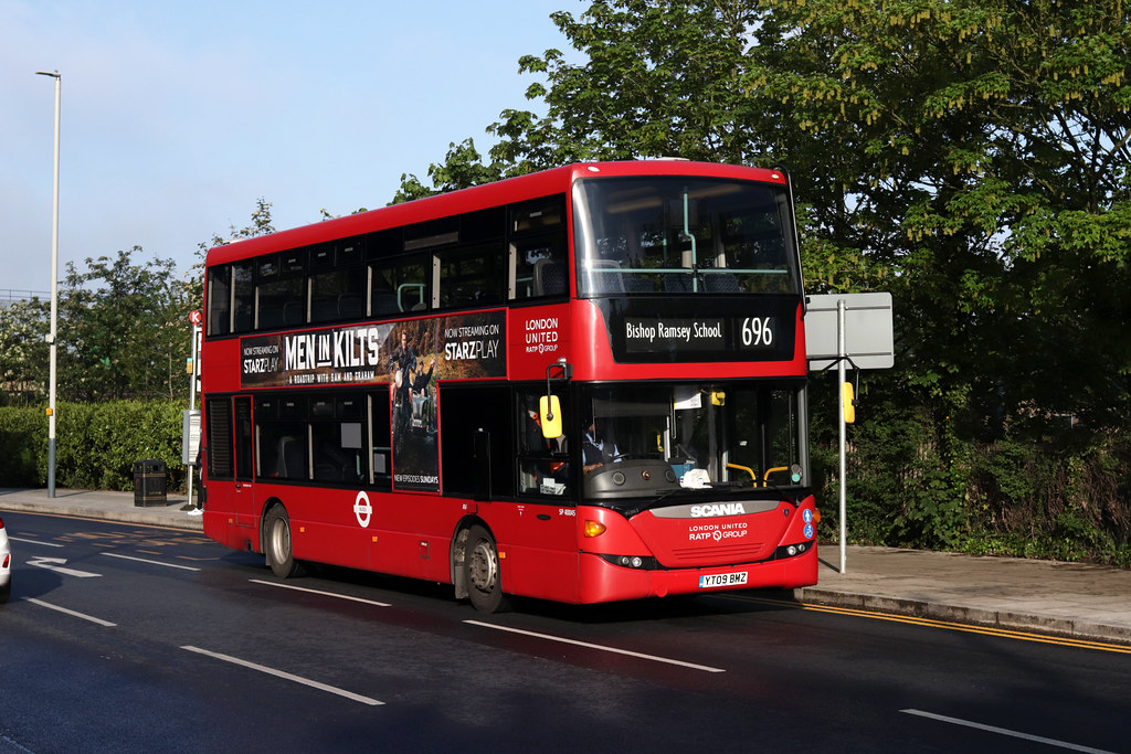
N136 Gallery

Is there any problem/complaint with reaching the London Bus Route N136? Please report any issues using the below comment form.
Rate your experience with the London Bus Route N136: (click on the stars below)Click to rate this post!
[Total: 0 Average: 0]
