London Central Bus Service N21 (Route) from Bexleyheath to Trafalgar Square – Time Schedules, Stops, Routes Map, Directions, Website
![]()
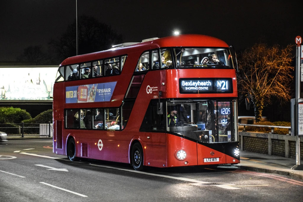
London Central Bus Service / Route N21 starts from Bexleyheath to Trafalgar Square and vice versa
Operator: London Central
Website: https://tfl.gov.uk/bus/route/n21
N21 Bus Route Directions and Stops
| From: Bexleyheath Clock Tower
To: Charing Cross Station |
From: Trafalgar Square / Charing Cross Stn
To: Geddes Place |
| L-Bexleyheath Clock Tower | G- Trafalgar Square / Charing Cross Stn |
| X- Bexleyheath / Highland Road | A- Southampton Street / Covent Garden |
| C- Halcot Avenue | D- Aldwych |
| D- Broomfield Road | L- The Royal Courts of Justice |
| E- Gravel Hill Close | E- Fetter Lane |
| J- Hartford Road | E- Ludgate Circus |
| G- Bexley Library | G- Ludgate Hill / Old Bailey |
| E- Bexley Station | SK- St Paul’s Cathedral |
| B- Bexley War Memorial | ME- Mansion House Station |
| H- Cross Lane | DLRMD- Bank Station / Queen Victoria Street |
| J- Riverdale Road | G- King William Street / Monument Stn |
| K- Bridgen / the Anchor | P- Monument Station |
| L- Woodside Lane | Y- London Bridge |
| M- Beechway | D- London Bridge Station |
| N- Blendon / Penhill Road | Southwark Street |
| P- Blackfen School For Girls | H- Union Street |
| E- Blackfen Road / Ramillies Road | E- Borough Station / Great Dover Street |
| F- Blackfen Road / Wellington Avenue | L- Trinity Street / the Roebuck |
| G- Sycamore Avenue | Blackhorse Court |
| H- Queenswood Road | BE- Bartholomew Street |
| W- Blackfen Road / Boundary Road | BK- Bricklayer’s Arms |
| AM- Rennets Wood Road | G- Old Kent Road / East Street |
| AD- Riefield Road | EC- Dunton Road |
| AE- University of Greenwich / Mansion Site | EE- Trafalgar Avenue |
| AF- Bexley Road / Glenesk Road | EN- Malt Street |
| T- Eltham High Street / Foots Cray Road | EN- Peckham Park Road |
| P- Eltham High Street / St Mary’s Place | EP- Commercial Way |
| M- Eltham High Street / Passey Place | Old Kent Road / Ilderton Road |
| H- Eltham Church / High Street | H- New Cross Bus Garage |
| W- Kingsground | M- New Cross Gate Station |
| WD- Greenway | T- Marquis of Granby |
| WE- Eltham Hill / Middle Park Avenue | B- Amersham Road |
| WP- Eltham Road / Westhorne Avenue | B- Malpas Road |
| WR- Cedarhurst Drive | C- Lucas Street |
| WS- Eltham Road / Kidbrooke Park Road | SK- Lewisham College / Ashmead School |
| WT- Courtlands Avenue | SL- Tyrwhitt Road / St Johns Station |
| WU- Weigall Road | SN- Undercliff Road |
| X- Cambridge Drive | SP- Loampit Vale / Jerrard Street |
| J- Lee Green | D- Lewisham Station |
| N- Lampmead Road | N- Belmont Hill |
| T- Dacre Park | P- Belmont Park |
| U- Brandram Road | Q- Manor Park |
| V- Belmont Park | R- Brandram Road |
| W- Marischal Road | S- Dacre Park |
| M- Belmont Hill | L- Lampmead Road |
| R- Lewisham Clock Tower | K- Lee Green / the Old Tigers Head |
| J- Lewisham Station | W- Cambridge Drive |
| F- Lewisham Station / Loampit Vale | EA- Weigall Road |
| SG- Loampit Vale / Jerrard Street | EB- Courtlands Avenue |
| SH- Undercliff Road | EC- Eltham Road / Kidbrooke Park Road |
| SJ- Lewisham College | ED- Sutcliffe Park |
| D- Lucas Street | EE- Eltham Road / Westhorne Avenue |
| E- Malpas Road | EK- Eltham Hill / Westhorne Avenue |
| F- Amersham Road | Vandyke Cross |
| X- Marquis of Granby / Goldsmiths | X- Kingsground |
| O- New Cross Gate Station | Y- Sherard Road |
| J- New Cross Bus Garage | O- Eltham High Street / Roper Street |
| C- New Cross Road / Besson Street | S- Eltham High Street / Pound Place |
| D- Briant Street | V- Eltham High Street / Westmount Road |
| W- Pomeroy Street | AH- Bexley Road / Glenesk Road |
| WA- Old Kent Road / Ilderton Road | AJ- University of Greenwich / Mansion Site |
| WB- Commercial Way | AK- Riefield Road |
| WE- Peckham Park Road | AL- Rennets Wood Road |
| WH- Malt Street | E- Blackfen Road / Boundary Road |
| WJ- Trafalgar Avenue | A- Queenswood Road |
| WN- Dunton Road | B- Blackfen Road / Days Lane |
| F- Old Kent Road / East Street | C- Blackfen Road / Westwood Lane |
| BP- Bricklayer’s Arms | D- Blackfen Road / Ramillies Road |
| BD- Bartholomew Street | A- Blackfen School For Girls |
| M – Trinity Street / the Roebuck | B- Blackfen Road / Penhill Road |
| F- Borough Station / Great Dover Street | C- Beechway |
| G- Union Street | D- Woodside Lane |
| M- London Bridge | E- The Anchor |
| Q- Monument Station | F- Riverdale Road |
| DLRF – Bank Station / King William Street | G- Cross Lane |
| DLRH – Bank Station / Queen Victoria Street | A- Parkhurst Road |
| SH- St Paul’s Churchyard | D- Bexley Station |
| SJ- St Paul’s Cathedral | F- Bexley Library |
| F- City Thameslink Stn / Ludgate Circus | H- Hartford Road |
| H- Shoe Lane | F- Gravel Hill Close |
| W- Fetter Lane | G- Broomfield Road |
| W- Chancery Lane | H- Halcot Avenue |
| P- The Royal Courts of Justice | Y- Bexleyheath / Highland Road |
| G- Aldwych / Australia House | E- Geddes Place |
| R- Aldwych / Drury Lane | |
| U- Savoy Street | |
| J- Bedford Street | |
| H- Charing Cross Station |
N21 Route Map

London Central Customer care Phone number, Email, Address
View London Central London Customer care Phone number, Email, Address, Feedback, how to report to SBS Transit lost and found through the above link
List of Bus Routes / Services in London
View the List of Bus Routes / Services in London address, phone number, email and website through the above link.
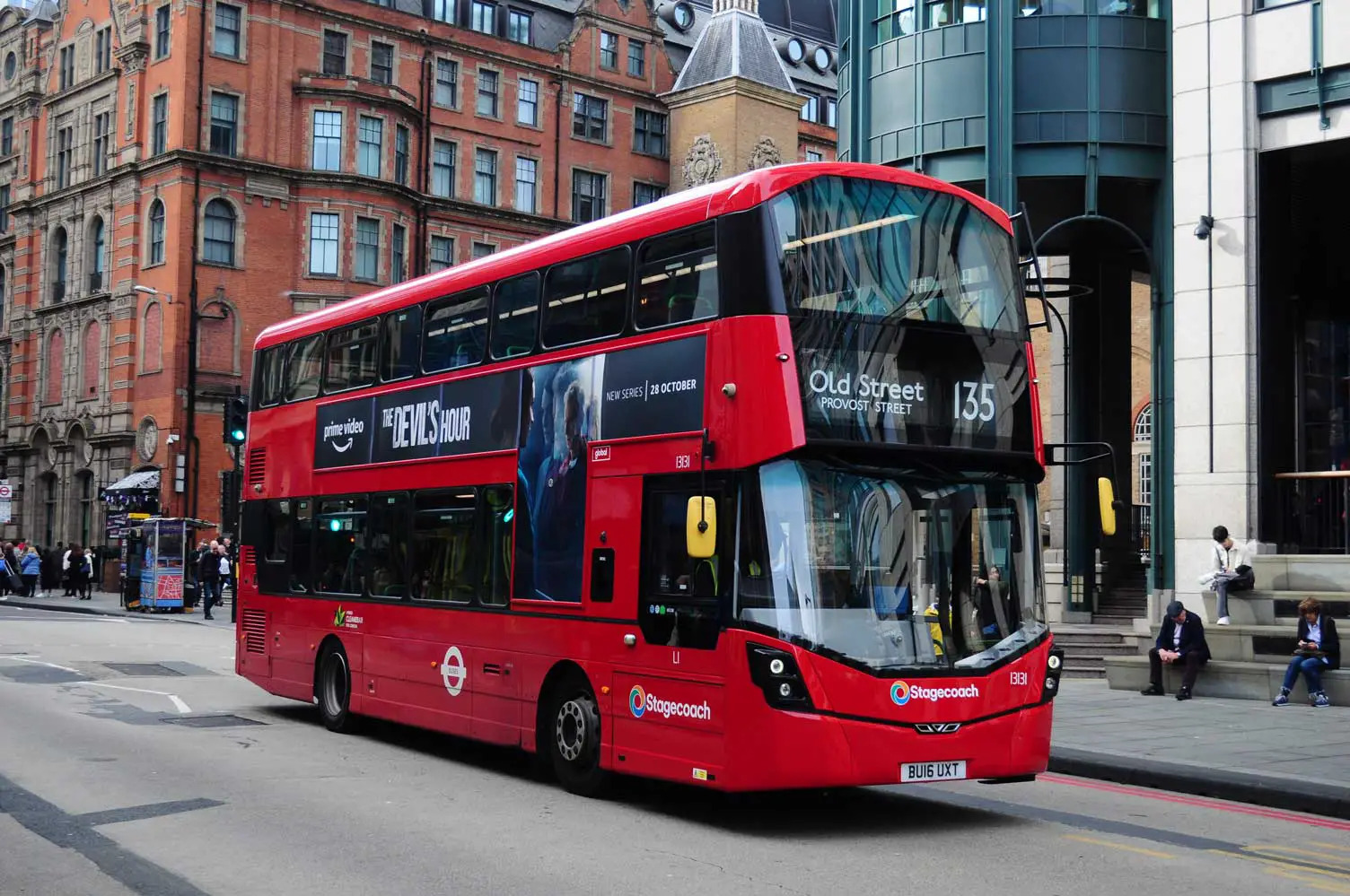
N21 Gallery

Is there any problem/complaint with reaching the London Bus Route N21? Please report any issues using the below comment form.
Rate your experience with the London Bus Route N21: (click on the stars below)Click to rate this post!
[Total: 0 Average: 0]

